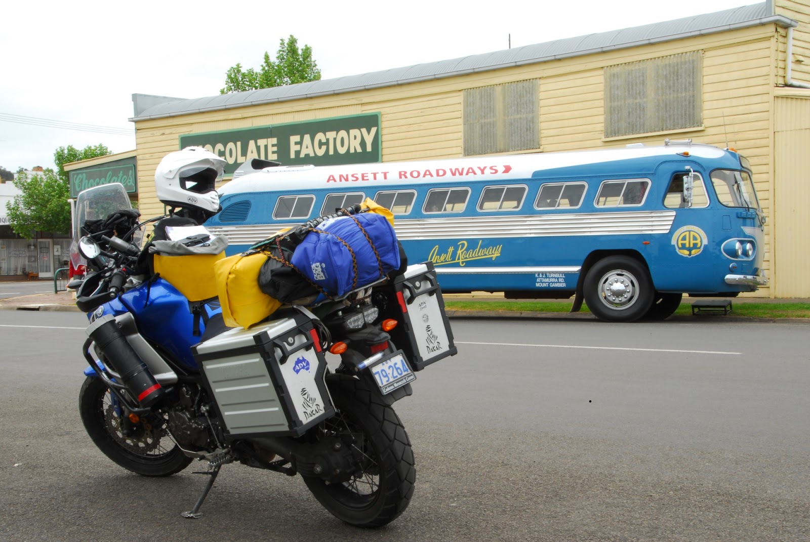
Details

Monday, October 29, 2012

Troopers Creek to Peterborough


Packed and off to Horsham via Rose's gap. The plan had been to meet Jon there and then ride back down via the Grampians to the coast. As I was riding towards Horsham I realised that the smart thing would have been to meet back at Halls Gap – saving him many kilometres. Fortunately when I got to Horsham Jon rang and we agreed on the revised rendezvous. In Horsham I followed the advice of the local Tourist Information people and had a shower at the aquatic centre – a necessary after two days on the road and a strenuous bush walk.

Back to Halls Gap via the more direct route and met up with Jon for lunch at the NP HQ.

We then pressed on south to the coast, stopping in Port Fairy for coffee. The temperature dropped 5 degrees over the last couple of km's as we approached the coast. A chill wind blowing from the south. It still being early and despite Jon having done a far few km before meeting up with me – we decide to continue towards Port Campbell on the GOR.

Passed lots of bikes returning from Phillip Island and the moto GP. Started to worry that Accommodating may be tight, so stopped in Peterborough for the night.

Tomorrow we will complete the GOR and head for Melbourne. A few days earlier than I had planned, but looking forward to catching up with family.

Climbing Mt Difficult.

-->

An easy start to the day. Up at 7 to discover the remains of a light overnight frost. Clear skies and to wind to speak of. Perfect day for a 4.4km climb to the summit of Mt Difficult. Packed some snacks, tidied the camp and set off with my Camelbak full of water. A short distance from the start of the walk I encountered a sign saying – “Strenuous Walking Involved”.
The assent zig-zagged up the sandstone tiers, working its way steadily up through some spectacular rock formations with the view to the west slowly revealing itself.


Paused at the half way point where a small stream cascaded down from the plateaux and plunged over a cliff to the valley below. The headwaters of Trooper Creek no doubt. 

In places the track required some scrambling up steep rock faces and through narrow clefts in the cliff. As I'd started the walk relatively early and was climbing the western approach, a lot of the route was in shade which reduced the effort required to climb the 600 plus metres from the camp site to the summit at 807 metres. All in all a most enjoyable climb!

The views from the summit were superb and in all directions. Being at the northerly end of the Grampians allowed fro a view down the entire range to the south. Another advantage of being so high with unobstructed views in all directions was that I was able to get a mobile signal. This allowed me to touch base with family and with Jon who will meet me tomorrow in Horsham. We will ride back down to the coast together and then round the Great Ocean Road to Melbourne. The end is in sight!

The descent was quicker but in many ways more difficult. I was conscious of being by myself – not having seen another person since leaving camp – and aware of how easy it would be on a steep descent like this to end up with a twisted ankle or worse. It was only when I reached the halfway point at the waterfall that I encountered a couple making the ascent. I paused again to finish my snacks, cool my feet off in the stream and admire the views, the rock formations, the wild flowers and the sheer majesty of my surroundings.

As soon as I made it to the bottom, on went the stove and the espresso pot was loaded and I enjoyed a well earned cup of coffee.

Tonight the camp site is deserted, only the late arrival of a couple in a pop-up caravan has interrupted my solitude. The fire is lit, the billy is boiling for a cup of tea and the moon has just risen over Mt Difficult. Perfect!

Casterton to Troopers Creek camping area The Grampians NP


A cold and overcast morning. Slow start and a leisurely breakfast hoping the sun would emerge to dry the tent. There had been some additional light rain overnight. No luck with the sun, so pack yet another damp tent and hit the road by 10am.

Up the highway to Hamilton – a large country town for petrol and a coffee break. The riding is pleasant enough. Good roads and not to much traffic. The countryside is green and lush. Prime agricultural land around here. The farmers wives are all driving Mercedes Benz SUV's!

The road from Hamilton to Dunkeld is even better, with distant views of the Grampians enticing me forward. Passing through Coleraine I spot an amazing old bus pulling over at the chocolate factory. It's the original (beautifully restored) FLXIBLE Clipper that Reg Ansett imported into Australia in 1947. Being driven by an old codger (Ken Turnbull) who used to drive it on a daily run from Mt Gambier to Melbourne in the good old days.


On to Dunkeld – gateway to the Southern Grampians. I take the back road through Victoria Valley north towards Halls Gap. A great minor road – single lane in places, but sealed all the way. A superb run up the middle of a wide flat valley – again rich agricultural land - between two parallel ranges – with spectacular views on both sides. The road finally cuts right and over the Sierra Range through Mirranatwa Gap back to the main north south road to Halls Gap. A great little section of up and down twisties. Best riding since leaving Perth!

On the way to Halls Gap, I stop at a couple of camp sites and check them out. My plan is to spend two nights in the park and do a day walk. Ideally up to the ridge or a peak for the views. After checking in a NP HQ in Halls Gap, and taking their advice, I end up in the northern section at Troopers Creek camping area.

A fantastic route out of Halls Gap bak up and over the range – fantastic bike riding. Yipee!

Troopers Creek is a lovely quiet spot in the bush, with just a couple of camp sites, below Mt Difficult. Tomorrows goal – weather permitting - is to climb Mt Difficult. About 4.5km return straight up and down. Here's hoping the weather is fine!


Robe to Casterton


Although the Caledonian Inn bar and restaurant had been packed the night before, I was the only overnight guest and had a solitary breakfast after a quick morning stroll around Robe.


The Inn backs on to the beach with a block of guest cottages facing out over the bay. Robe has lots of heritage buildings that have been restored and well maintained. The harbour has been turned into a marina, and of all the 'so-called' southern ports, it is by far the most prosperous.

Stopped into Beachport and Southport as I meandered down the coast towards Mt Gambier. The wind continued to blast out of the south and the temperature never rose above 16 degrees.

When I was camping in Rapid Bay, a fellow traveller asked which way I was heading. When I told him I was planning to follow the coast as much as possible, told me to keep my eyes open for Woakwine Cutting. I forgot all about it until today when a sign appeared between Robe and Beachport. I cannot decide if it should be considered a monument to folly or determination – probably both. The sign tells it all.


Although the morning had remained dry, as I approached Mt Gambier the showers started again. Mt Gambier to pick up food & supplies for the next few days.

Tired of the wind I decided to head inland I the hope that it will be more sheltered. Up the highway north towards Coonawarra / Penola through yet more wine country. Also large pine plantations – which did provide a bit of protection from the wind. A Penola I turned east again onto a back road to Casterton. Very quiet road, through a mixture of lush pastures and more pine plantations.

Casterton has a small caravan park run by the council – cheap no frills, but at least it has hot showers, a laundry and a patch of grass to pitch the tent. It is also almost deserted. Perfect for the night. As I set up camp, the wind abated and the sky cleared. Lets hope it continues. The forecast is looking good, even if the predicted overnight temperature is 4 degrees!

Thursday, October 25, 2012

Rapid Bay to Robe.

-->

Have I mentioned the wind?

Despite the weather appearing to clear on sunset, the wind and rain returned during the night. At one point I awoke to hear the sound of what was obviously my billy being cart-wheeled across the camp ground. I was up and chasing it instantly, otherwise it would have ended up in the bay.
Wet Tent on Windy Beach

A windy, cold and damp morning. Up at the now usual 6:30am. A slow breakfast with much needed hot coffee. I procrastinated, drawing out the packing process in the vain hope the sun might come out and dry my tent. No such luck. Reluctantly I rolled up the wet tent, finished packing and rode out of Rapid Bay. Despite the bad weather it had been a good camp site.

The road down to Cape Jervis – the ferry terminal for Kangaroo Island was a good way to start the day. The wind was relentless and cold, but at least it had stopped raining. Just a bit of 'scotch mist' persisted, keeping the road damp and my visor damp.

Cape Jervis - Kangaroo Island Ferry Terminal
After checking out the ferry terminal and watching it being loaded for the next trip I backtracked up the road to the turn-off for Victor Harbor. Another great ride along the ridge line. Lots of corners but a good well engineered road. Victor Harbor is clearly a prime tourist destination. Lots of coaches, grey nomads and other tourists. Found a good 'German Bakehouse' for coffee and cake. Yum!

Back on the road to Goolwa and the Murray river. Very suburban, and again Goolwa is another tourist stop. Paused at the Hindmarsh Island Bridge in time to see a paddle steamer sail past.

After Goolwa I hit the back roads as I worked my way around Lake Alexandrina, ending up crossing the Murray at an old ferry point called Wellington. 

Then out onto the Princes Highway and a blast through the Coorong, buffeted all the way by that damned wind. Today makes 7 days riding in a row that the wind has been a curse.

Finally pulled over in Robe, an old port – second only to Adelaide in the old days, before it was bypassed by the rail network. Full of old buildings including the Caledonian Inn – where I'm staying. The first 'civilised' lodging I've had since leaving Esperance.
The Caledonian Inn - Robe

I now have time to spare before I need to be in Melbourne, so I will meander through parts of inland Victoria I've not visited before, including the Grampians., before returning to the coast for the last run into Melbourne along the Great Ocean Road.

Wednesday, October 24, 2012

Mt Pleasant to Rapid Bay


Day dawned overcast with the threat of rain. Breakfast of orange juice only, packed and on the road before 7:30am.
Continued my cruise down the ranges from north to south. Destination Hahndorf and a cooked breakfast as a treat. Countryside was splendid lush green pastures mixed with vineyards and orchards. Lots of large 'Country Estates'. Great roads as well. Had to keep alert to morning commuter traffic – in a hurry to get to work – poor fools!
Hahndorf is “cutesville” - like so many of the small towsn and villages in the Adelaide hills very picturesque and very 'tourist oriented'.

On to Mt Barker for a supermarket shop for the days provisions, then an epic ride down the Fleurieu Peninsula through farms and forest until the road reaches the coast at Normanville. Great riding, with interesting hills along the coast.
Stopped at a lookout that commemorates the HMAS Hobart. It was sunk for use as a diving wreck just off the coast here.

The further down the peninsula I rode, the more threatening the weather became. Rode down a spectacular road dropping down from the hills to Rapid Bay through green hills tinged purple by Paterson's Curse.

I arrive at Rapid Bay camp ground just as it starts to rain. A picnic shelter provides welcome cover for lunch while I contemplate my next move. After lunch and a cup of tea – punctuated by frequent showers I decide thus is as good a place ass any to spend the night. A good cheap camp ground, deserted except for a few other travellers. A spectacular setting and with the weather looking like it may clear later I saw no need to continue further. The rest of Fleurieu Peninsula can wait for tomorrow.
Rapid Bay from New Jetty
 After the rain stopped I went for a walk up and down the beach. Rapid Bay was once the site of a limestone mine/quarry. "The open cut mine at Rapid Bay was a major source of limestone for Broken Hill Proprietary Ltd (BHP) during the years 1942 - 1981. The limestone was shipped to BHP's steelworks at Whyalla, Newcastle and Port Kembla where it was used as metallurgical flux in production of steel." http://www.rapidbayjetty.org/history.htm 

The old jetty is in ruin and slowly collapsing back into the bay. However, the state government has built a new one right alongside. 
Old and New

Unlike the jetty, the houses from the old mine are kept in good repair. There is even a school and an excellent cricket oval. Signs of more prosperous times, but good to see the locals are keeping them in good shape.

As predicted – as I type this up, at sunset, the skies have cleared, but the temperature has dropped! A cold wind is now blowing from the south west. Time for dinner and to bed.

Tuesday, October 23, 2012

Cowell (Lucky Bay) to Mt Pleasant


A quite night on the outskirts of Cowell.


Easy start as the ferry on leaves at 10:30am from 16km up the road a Lucky Bay.

A group of riders from Perth on their way to Phillip Island for the Moto GP were already at the ferry terminal when I arrived.


Ferry trip was uneventful, windy and choppy but otherwise OK. Just over 2 hours later we berth and I head for the hills (Adelaide Hills). The wind has now swung round almost 90 degrees from the last few days, and is hot from the north. 33 degrees at Port Wakefield where I stop for late lunch. Then east across the coastal plain across fields of cereal passing through Balaklava, Owen, Hamely Bridge, Freeling until I hit the Sturt Highway and the start of the ranges. Lovely countryside and a pleasant ride apart from the ever present wind. Some local near Hamely Bridge passed me from the opposite direction with a trailer load that was dropping debris left and right, including a couple of planks of wood. Serious evasive action was required.

Sturt Highway until the turn off for Nariootpa and the start of wine country. From Narioopta to Angaston and the start of the route down through Eden Valley to Mount Pleasant and my destination for today.

The ride from Angaston was very scenic. The route more or less follows the ridge line from north to south and is relatively elevated. Lots of old gums and some serious real estate. Stopped at the Eden Valley Lookout which had a beacon showing distances to various places. 


Suddenly Melbourne and Canberra seem close – 


- especially when compared with the distance just covered back to Perth!


Camping in the Mount Pleasant show-ground. $10 for the night for a nice grassy camp site and hot showers. The forecast for tomorrow is looking a bit dodgy, with showers predicted as another front passes. The temperature is also going to drop. I plan on heading south along the ranges through Hahndorf before continuing to Cape Jervis and then east around the coast to Goolwa and the mouth of the Murray River. We shall see...

Monday, October 22, 2012

Elliston to Cowell via Coffin Bay National Park


Although the wind appeared to abate during the night, by the time we were up and about it was blowing hard again, although from a more SE direction.

The Last Breakfast was had and solemn farewells taken. M & U heading north, me heading south.

Although the wind was still blowing, it was not as bad as the day before, and as I headed south it became easier, allowing me to admire the view rather than manhandle the bike. 

The countryside changed as I approached the Coffin By turn off. Still plenty of wheat fields, as well as what looked like canola and barley. There were also remnant pockets of native vegetation including some majestic old eucalyptus (sugar gums?). The habitat and micro-climate appeared to be quite different in this south western corner of the Eyre Peninsula. There were also some isolated peaks as well. Very pleasant riding with some actual corners on the roads! I initially bypassed Coffin Bay and proceeded on to Port Lincoln for coffee and fuel, before backtracking via Winters Lookout for a panoramic view over Port Lincoln and surrounds 

and then back to Coffin Bay. (What a name – visions of floating coffins come to mind – shades of Moby Dick. Turns out that it was named by Matthew Flinders in honour of his good friend Sir Isaac Coffin – a naval commissioner.)


The detour to Coffin Bay was well worth it. Stunning landscape with multiple bays and inlets leading out to a spectacular coastline with views out to the islands off shore. The road out to the coast through the national park was an added bonus, full of undulations and sharp corners – great on the bike. Saw plenty of emus on the way out, accompanied by lots of chicks. Camera at the ready on the return trip I saw nothing! Just a couple of lizards and what looked like a pair of Sea Eagles in the distance.

Back inland and headed north up the middle of the peninsula to Cummins – a small town dominated by its wheat silos. 


Stop for coffee and apple slice then east back down to the coast on what turned out to be a great road that climbed to a reasonable altitude, before dropping rapidly through a series of great sweeping corners down to the coast at Tumby Bay. The last stretch up the coast to Cowell was uneventful with views out east to the Spencer Gulf.

Campsite in the Harbour View Caravan Park. Tomorrow the ferry from Lucky Bay to Wallaroo. Then on to Nuriootpa and the Barossa!

Sunday, October 21, 2012

Penong to Elliston


So – the morning dawns overcast and still windy. We head for Ceduna to restock our depleted food supplies. By the time we reach Ceduna, the cloud has gone but the wind remains. M & U decide they will ride part way down the Eyre Peninsula with me – at least as far as Elliston.

Ceduna was deserted, but the supermarket was well stocked and the prices were acceptable after the extortionist pricing we encountered at the roadhouses crossing the Nullarbor.


Morning coffee at Smoky Bay – also deserted. As we proceeded south, the wind freshened. Lunch in Streaky Bay, refueled and pressed on to Elliston.

The Eyre Peninsula has lots of wheat fields – the winter crop either recently harvested or about to be. Golden rolling hills in all directions. It would have made for very pleasant riding except for the wind, which had become even fresher.

By the time we reached Elliston we had had enough for the day. 


Wellington Bay caravan park for our last night together. Tomorrow M & U will turn inland and start heading for Port Augusta on their way to the Flinders Range. I will continue down and round the Eyre Peninsula via Coffin Bay & Port Lincoln before making for Cowell and the ferry across to Wallaroo on the York Peninsula, before bypassing Adelaide and heading for the Barossa.


It's going to be strange riding on my own after 3 months together. We've had a great time on the road over the past 3 months.

Saturday, October 20, 2012

Bunda Cliffs Lookout to Penong.


The night was windy but clear, up at dawn to view the cliffs again before packing and hitting the road. The wind increased to strong and gusty and was out of the south, which continued for the rest of the days ride. The ride would have been pleasant but for the wind, which required constant attention, especially when overtaking slower traffic, or when a road train passed in the opposite direction. We had hoped to reach Ceduna tonight, but stopped at Penong – 70 odd kilometres west of Ceduna. Camp in the local caravan park and dinner in the pub. Tired but happy now that we have crossed the Nullarbor.
Tomorrow after Ceduna, M & U will decide whether to come with me down to the Eyre Peninsula via the Flinders Highway (the scenic route), or to stay on the Eyre Highway and press on to Port Augusta before heading up to the Flinders. We shall see.